On June 5th 1976 the Teton Dam located in Eastern Idaho crumbled, flooding the valley below. The resulting disaster brought attention to the unchecked practice of dam building by the Bureau of Reclamation. Nearly forty years later, the topic of the dam rarely becomes the center of conversation, but off in the distance a monument still stands to that disastrous day.
(continued below…)


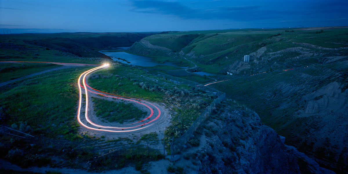


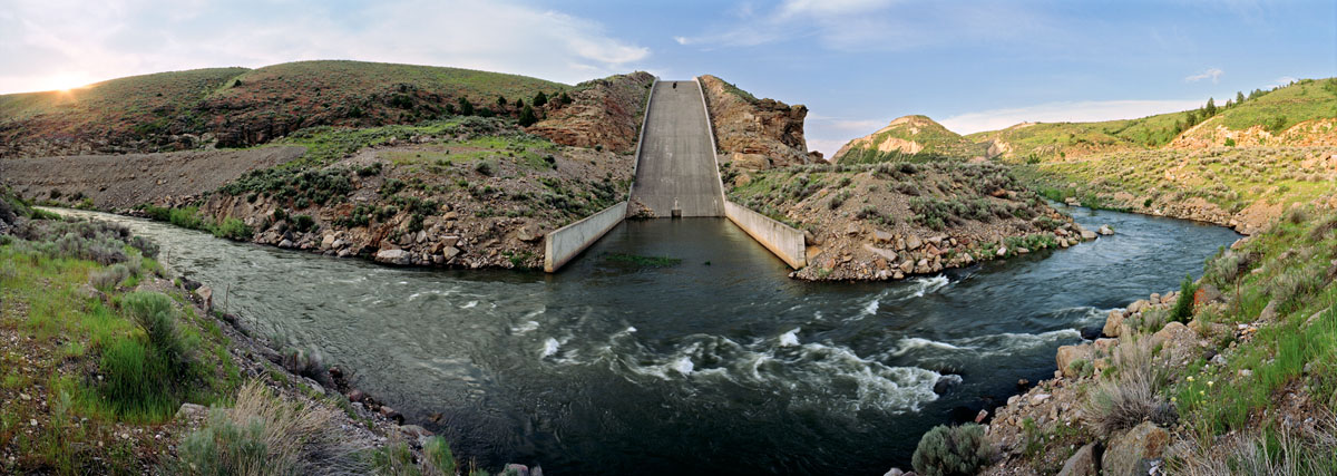

A twenty-mile stretch of a once pristine river canyon lies in ruins, not much different from how it was left thirty years earlier. The Teton Dam panoramas documents the passing of time in the Teton Canyon and to what degree the landscape has or has not recovered. Prior to dam construction, the Teton canyon contained a beautiful river with abundant wildlife, an amazing fishery, river banks lined with cottonwoods and canyon walls covered with old growth Douglas Fir trees.
The development of the Teton Dam took place during a time of rampant dam construction in the West by the Bureau of Reclamation. Studies for a dam on the Teton water system began as early as 1930 which led to legislation in 1964 approving dam construction. Local environmental groups tried to stop the construction of the dam but due to the strong political backing, this attempt carried little weight.
The results of the dam breaking included the loss of fourteen lives and hundreds of millions of dollars in property damage. Numerous towns were heavily damaged with some seeming to disappear completely.
Ultimately it appears that a variety of human errors and poor design choices were at fault for the failure of the Teton Dam. It is the goal of this project to see this disaster preserved as a reminder of the impacts poor politics have on the landscape. It is necessary to question the current state of the canyon and what future it may hold. There is a great need to preserve and record what remains as a result of the ill-fated Teton Dam Project.
Jonathan Long
You must be logged in to post a comment.